
Natural Heritage
Madagascar
The 8th Continent
Separated from Africa 160 million years ago, Madagascar evolved in near-total isolation. What emerged is unlike anything else on Earth.
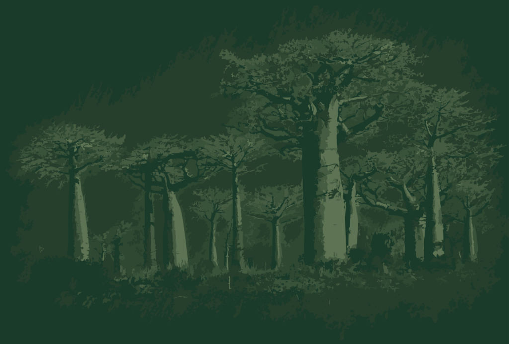
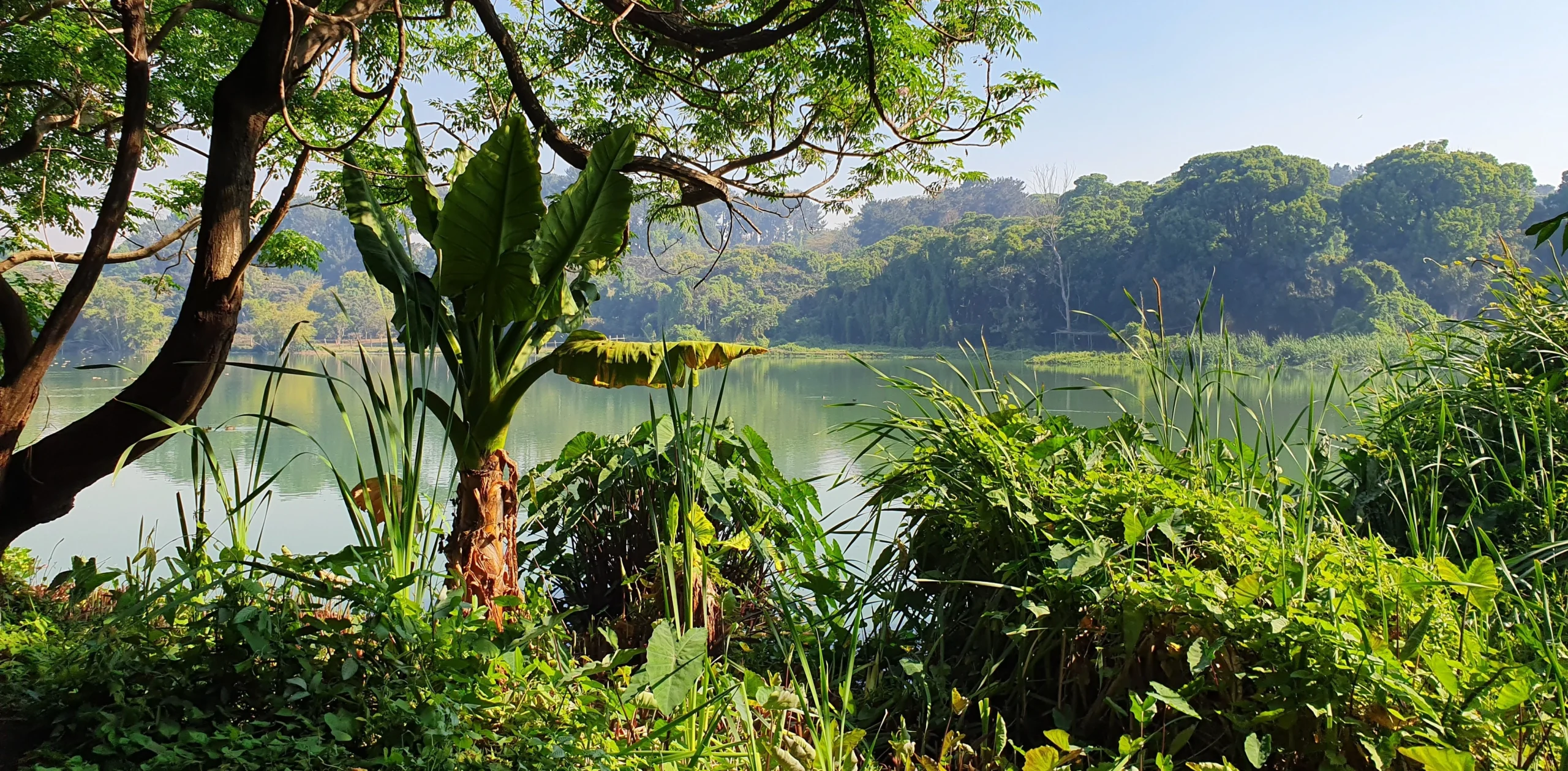
Madagascar broke away from Africa around 160–180 million years ago and from the Indian subcontinent roughly 90 million years later. The plants and animals left on the island evolved along entirely different paths, producing a biodiversity so distinct that scientists have long called it the 8th Continent. Yet this living archive is under serious threat.
A Fragile Inheritance
Biodiversity under threat
The rapid population growth of the past century has created an ever-growing demand for land and farming, which has slowly eaten away at some of Madagascar’s last untouched regions. The response, however, has been gradual. A few protected areas were already in place as early as 1927, during the colonial era, and a second wave followed in the 1990s as Madagascar began opening up to the rest of the world. By the early 2000s, the creation of protected zones had picked up speed, which some felt was perhaps too much.
Today, the picture is clearer. Around 122 protected areas exist, covering roughly 10% of the island’s total land area. Many of these zones are open to visitors, while others are reserved for scientific research only.
Areas
Land Area
Established
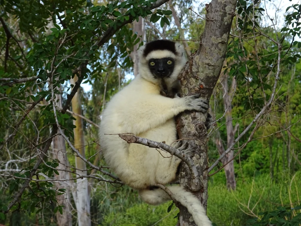
So much of Madagascar’s wildlife exists nowhere else on the planet, making a visit feel like stepping into an evolutionary experiment that has been running for over 100 million years.
International Recognition
UNESCO Sites & Biosphere Reserves
Three of Madagascar’s parks hold UNESCO World Heritage status, and four have been designated Biosphere Reserves, which speaks to their global significance and the effort to conserve them while involving local communities.
- Tsingy de Bemaraha Strict Nature Reserve
- Rainforests of the Atsinanana
- Andrefana Dry Forests
- Mananara Nord
- Sahamalaza–Îles Radama
- Littoral de Toliara (South Coast of Tuléar)
- Belo-sur-Mer – Kirindy Mité
- Tsimanampesotse – Nosy Ve Androka
Protected Areas Map
Where to find them
The protected areas span the length of the island, from the arid far north to the humid rainforests of the east coast and the dry plateaux of the south-west.
By Region
Protected areas with park links
Click a region to expand its list of linked protected areas.
Extreme North (Diana Region) 8 areas
- Parc National de Nosy HaraNP
- Paysage Harmonieux Protégé d'OronjiaPHP
- Paysage Harmonieux Protégé d'Ambohitr'Antsingy Montagne des FrançaisPHP
- Parc National de Montagne d'AmbreNP
- Réserve Spéciale d'AnalameranaRS
- Paysage Harmonieux Protégé de Loky ManambatoPHP
- Paysage Harmonieux Protégé d'Andrafiamena AndavakoeraPHP
- Réserve Spéciale d'AnkaranaRS
Northwest 7 areas
- Parc National de LokobeNP
- Paysage Harmonieux Protégé de Galoko-KalobinonoPHP
- Réserve de Ressources Naturelles du Corridor Marojejy Anjanaharibe Sud Tsaratanàna – COMATSA NordRRN
- Paysage Harmonieux Protégé d'AmpasindavaPHP
- Réserve Naturelle Intégrale de TsaratanànaRRN
- Réserve Spéciale de ManongarivoRS
- Parc National de SahamalazaNP
Northwest / West 8 areas
- Paysage Harmonieux Protégé du Corridor Forestier de BongolavaPHP
- Réserve de Ressources Naturelles du Site Bioculturel d'AntremaRRN
- Aire Protégée de Bombetoka BelobokaPHP
- Paysage Harmonieux Protégé du Complexe Zones humides Mahavavy KinkonyPHP
- Parc National de la Baie de BalyNP
- Parc National d'AnkarafantsikaNP
- Parc National de NamorokaNP
- Réserve Spéciale de KasijyRS
Central Highlands 8 areas
- Réserve Spéciale d'AmbohitantelyRS
- Réserve Spéciale d'AmbohijanaharyRS
- Paysage Harmonieux Protégé du Complexe d'Anjozorobe AngavoPHP
- Réserve de Ressources naturelles Manjakatompo AnkaratraRRN
- Paysage harmonieux Protégé d'AmbatofotsyPHP
- Parc National de MarolamboNP
- Paysage Harmonieux Protégé du Massif d'IbityPHP
- Paysage Harmonieux Protégé du Massif d'ItremoPHP
West (Menabe & Tsingy) 6 areas
Southwest (Arid region) 10 areas
- Paysage Harmonieux Protégé du Complexe Zones Humides Mangoky IhotryPHP
- Parc National de MikeaNP
- Parc National de l'IsaloNP
- Parc National Zombitse VohibasiaNP
- Monument Naturel de la Forêt Sacrée Alandraza AnalaveloPHP
- Aire Protégée de Ranobe PK32PHP
- Paysage Harmonieux Protégé d'Amoron'i OnilahyPHP
- Paysage Harmonieux Protégé de TsinjoriakePHP
- Réserve Spéciale Bezà-MahafalyRS
- Parc National TsimanampetsotsaNP