National Park · Southern Region · Ranohira
Isalo
National Park
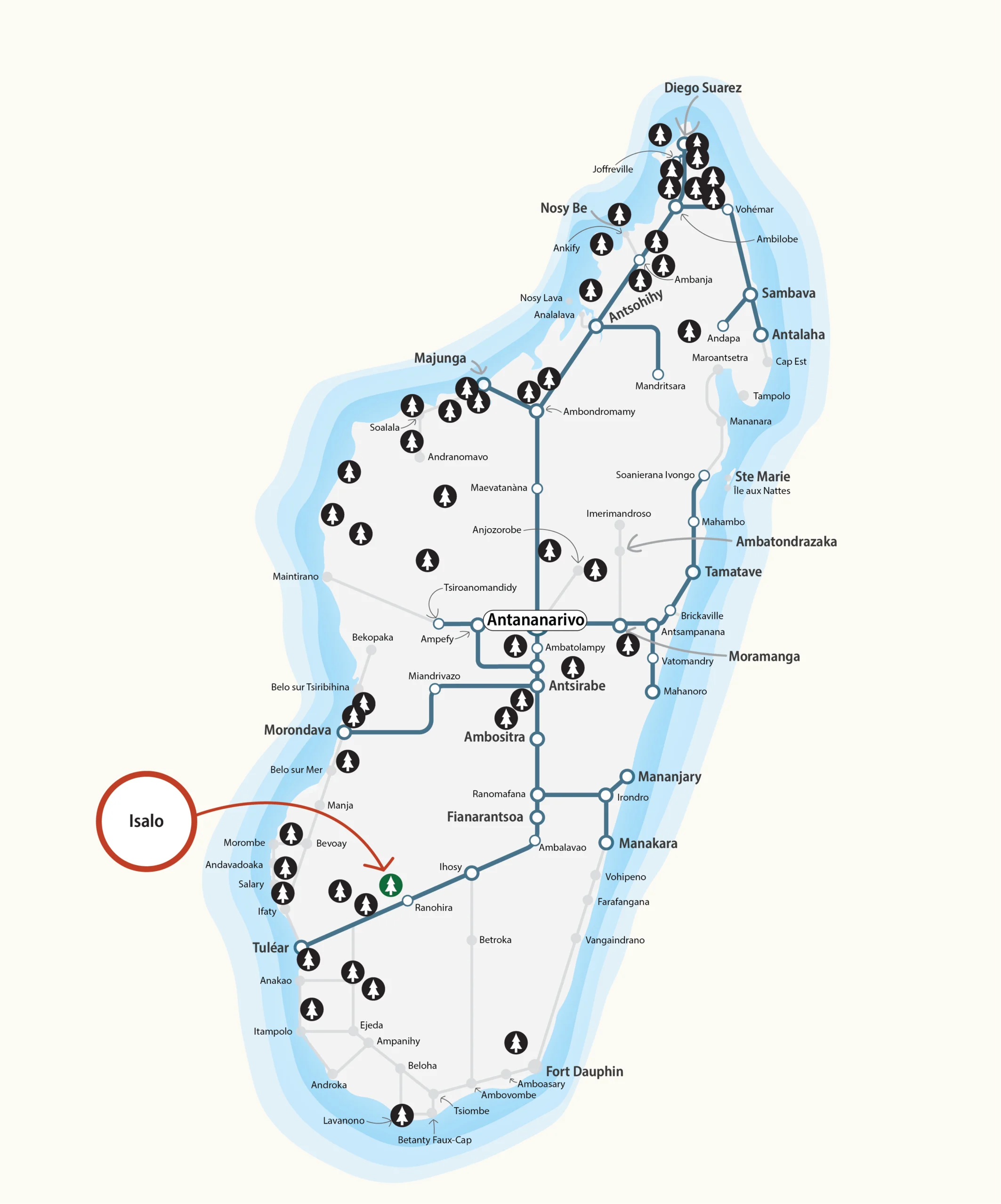
A ruiniform sandstone massif of sculpted canyons, natural pools, and sacred Bara landscapes, located 269 km from Fianarantsoa along the RN7.
About the Park
Canyons, natural pools, and sandstone wilderness
Located 269 km from Fianarantsoa and 80 km from Ihosy along the RN7, Isalo occupies the commune of Ranohira in southern Madagascar. Its extraordinary ruiniform massif, carved by millions of years of erosion, rises above the surrounding plains in a landscape of canyons, gorges, and wind-sculpted rock formations unlike anywhere else on the island.
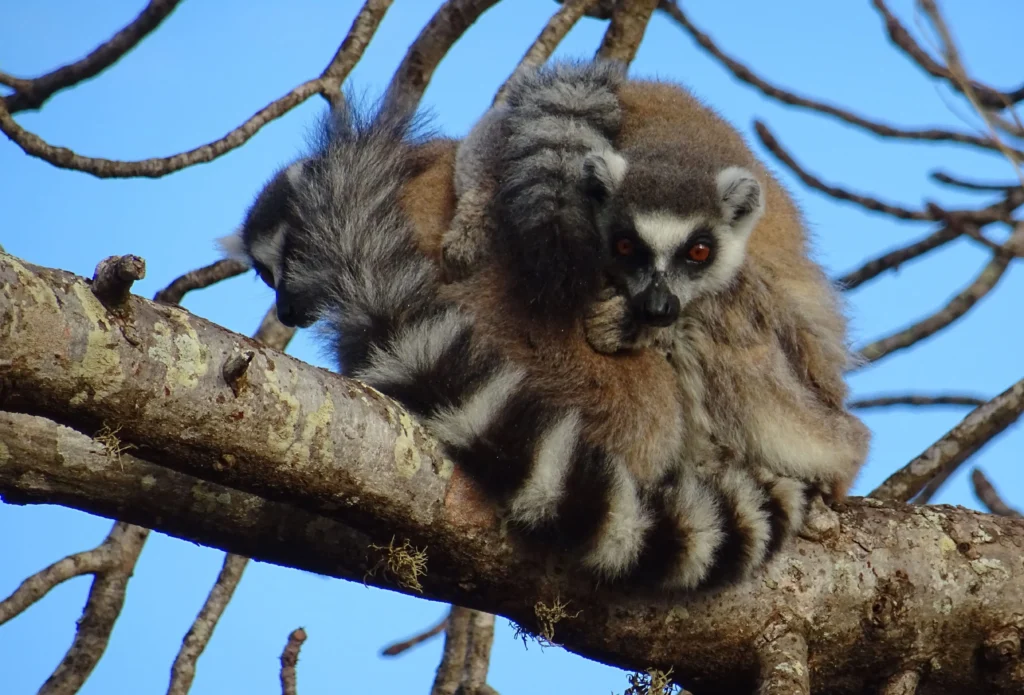
The park shelters a remarkable endemic flora of rupicolous plants, including aloes, euphorbias, pachypods, and kalanchoes, alongside an endemic fauna that includes 4 amphibians, the reptile Trachylepis nancycoutuae, the rodent Eliurus danieli, 94 bird species, and 7 lemur species.
Isalo's canyons conceal crystalline natural pools, Bara sacred sites, and ancestral burial grounds, a territory where geology and living culture are inseparable.
Key Fauna & Flora
A landscape shaped by aridity and stone
Isalo’s subarid climate and sandstone substrate create a mosaic of rupicolous microhabitats sustaining an exceptional range of endemic species, many found nowhere else on Earth.
Culture & Heritage
Sacred grounds of the Bara
The Bara are the dominant ethnic group of the Isalo region, a semi-nomadic pastoral people whose cultural practices are deeply tied to the park’s landscape. Within the massif, sacred zones serve as sites of ceremony and ritual, protected by local tradition as much as by park boundaries.
Several funerary sites are scattered across the interior of the park, evidence of long and intimate human presence within these stone corridors, reflecting a living relationship between the Bara people and the ancient sandstone of Isalo.
Marked Circuits
Five circuits and three long-distance trails
5 marked tourist circuits totalling 31 km, complemented by 3 hiking trails covering 80 km in all. Rest areas, viewpoints, and belvederes are distributed throughout; several sections are fitted with via-ferrata equipment.
-
Green LakeMarked circuit
1 km -
AntsifotraMarked circuit
3.5 km -
Natural PoolMarked circuit
6 km -
NamazaMarked circuit
7 km -
AnjofoMarked circuit
7.5 km -
CanyonsHiking trail
20 km -
MalasoHiking trail
21 km -
Grand TourHiking trail
40 km
Multiple hotels and nine equipped camping sites near the park. Managed by MNP.
Southern Madagascar, Ihorombe Region
Isalo sits at the heart of southern Madagascar, within the Ihorombe Region. The park is most easily reached from Fianarantsoa via the RN7 (269 km), or combined with visits to neighbouring southern parks such as Zombitse-Vohibasia.